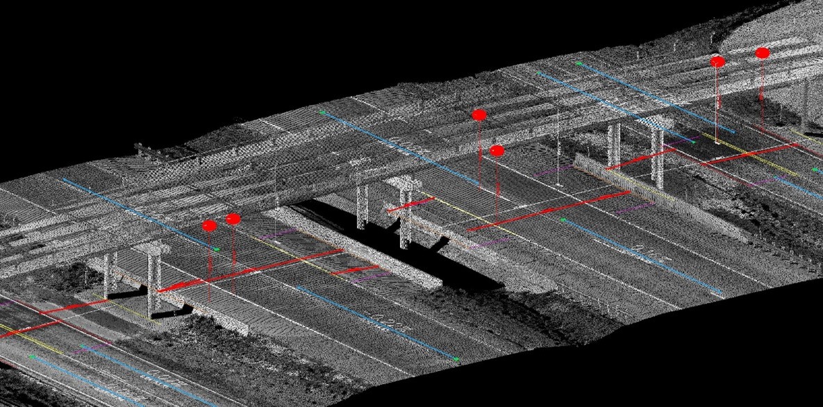
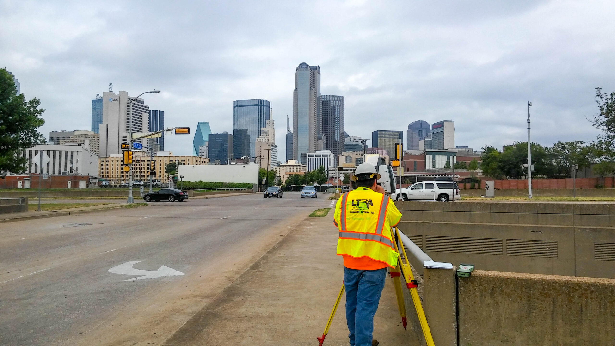
LTRA served as the prime provider for TxDOT’s Statewide Bridge Clearance Inventory Surveys, delivering critical data to support the safety and planning of the state’s roadway network. The project involved surveying more than 5,400 bridges across 13 TxDOT districts and 123 counties in North Texas, collecting accurate horizontal and vertical clearance measurements for every bridge opening. LTRA utilized the Leica Pegasus mobile mapping system to perform Mobile LiDAR scans of each structure, with point cloud data processed using MicroStation and TopoDOT software. The final deliverable included a comprehensive GIS database covering over 13,000 openings, each with approximately 60 recorded attributes. Our team also managed data collection planning, coordinated work across multiple regions, and implemented rigorous QA/QC processes to ensure data accuracy. LTRA’s ability to manage large-scale survey projects and deliver high-quality geospatial data contributed directly to TxDOT’s statewide bridge inventory and planning efforts.