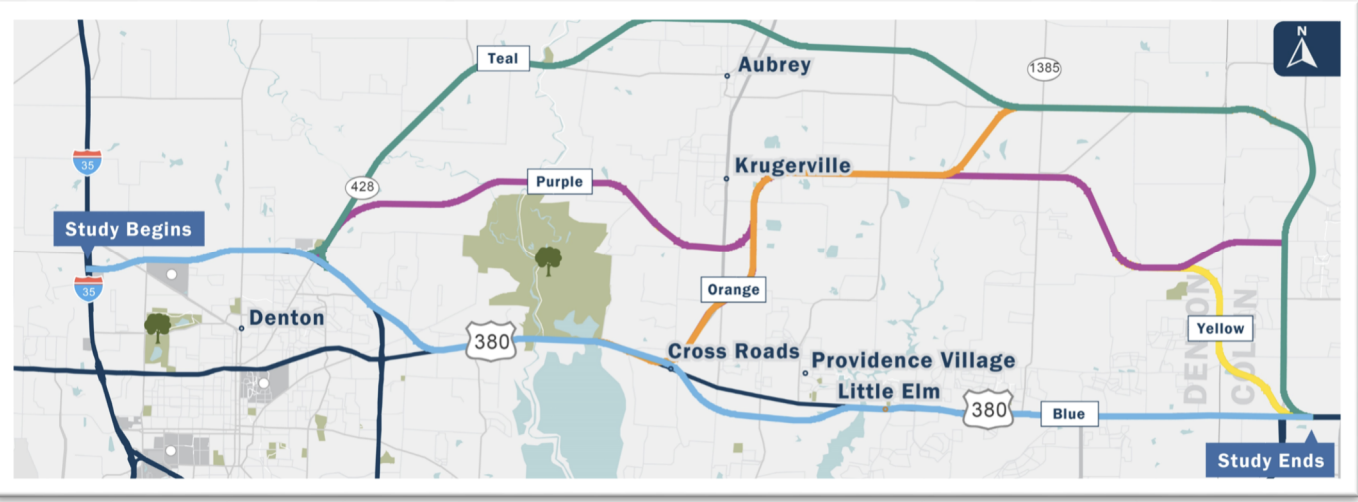
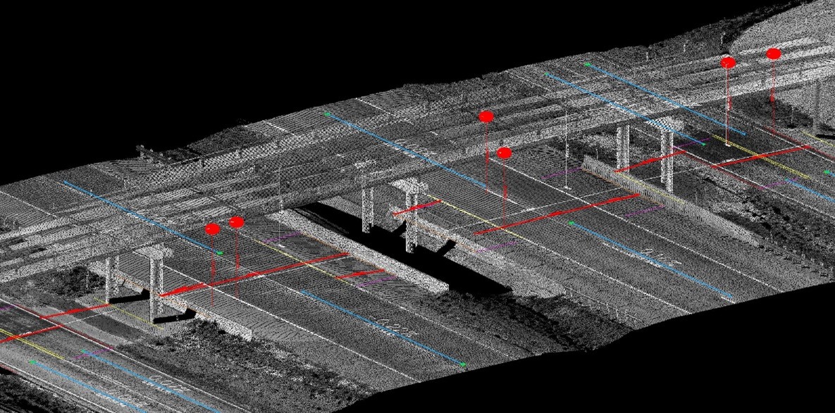
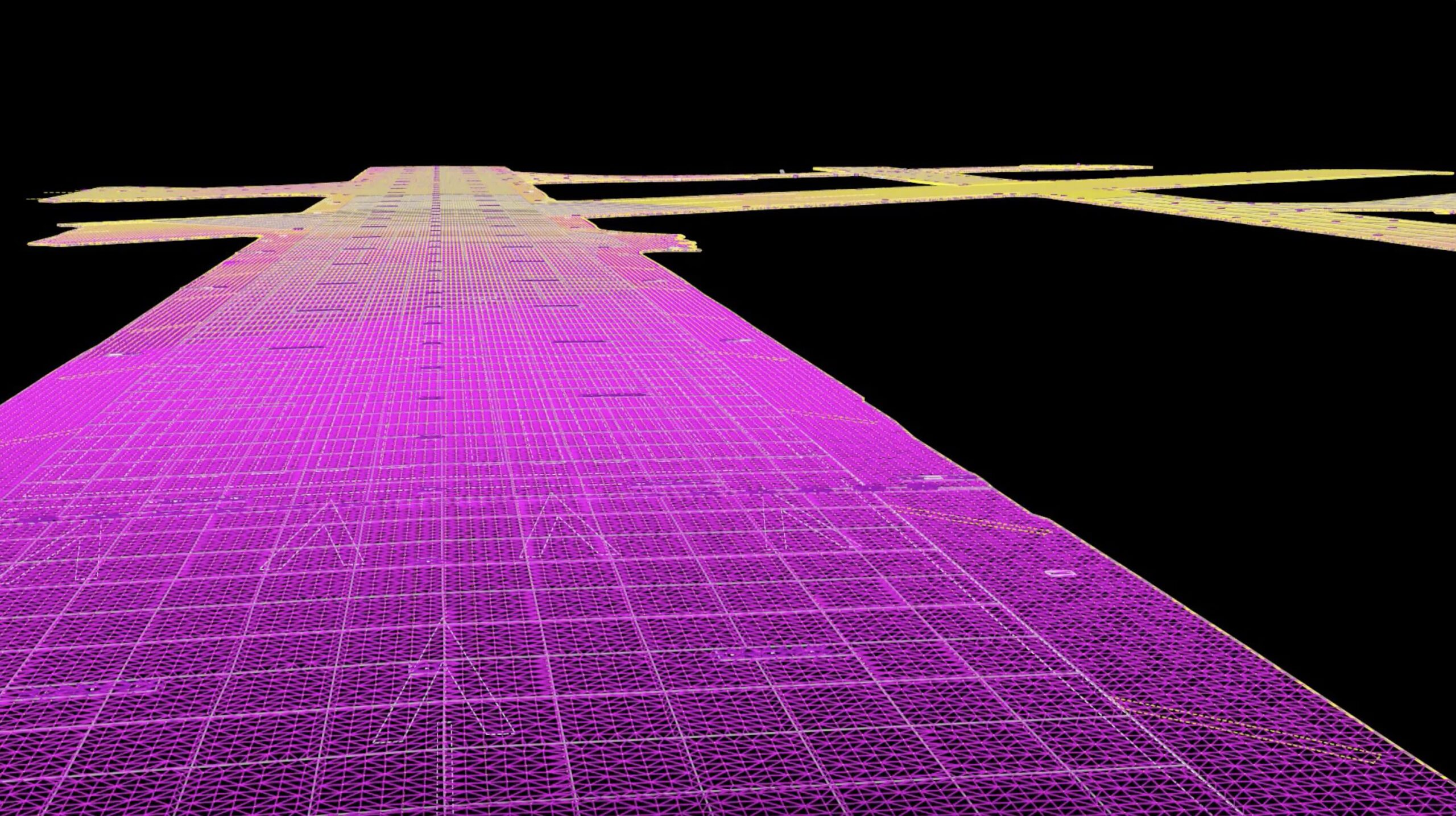
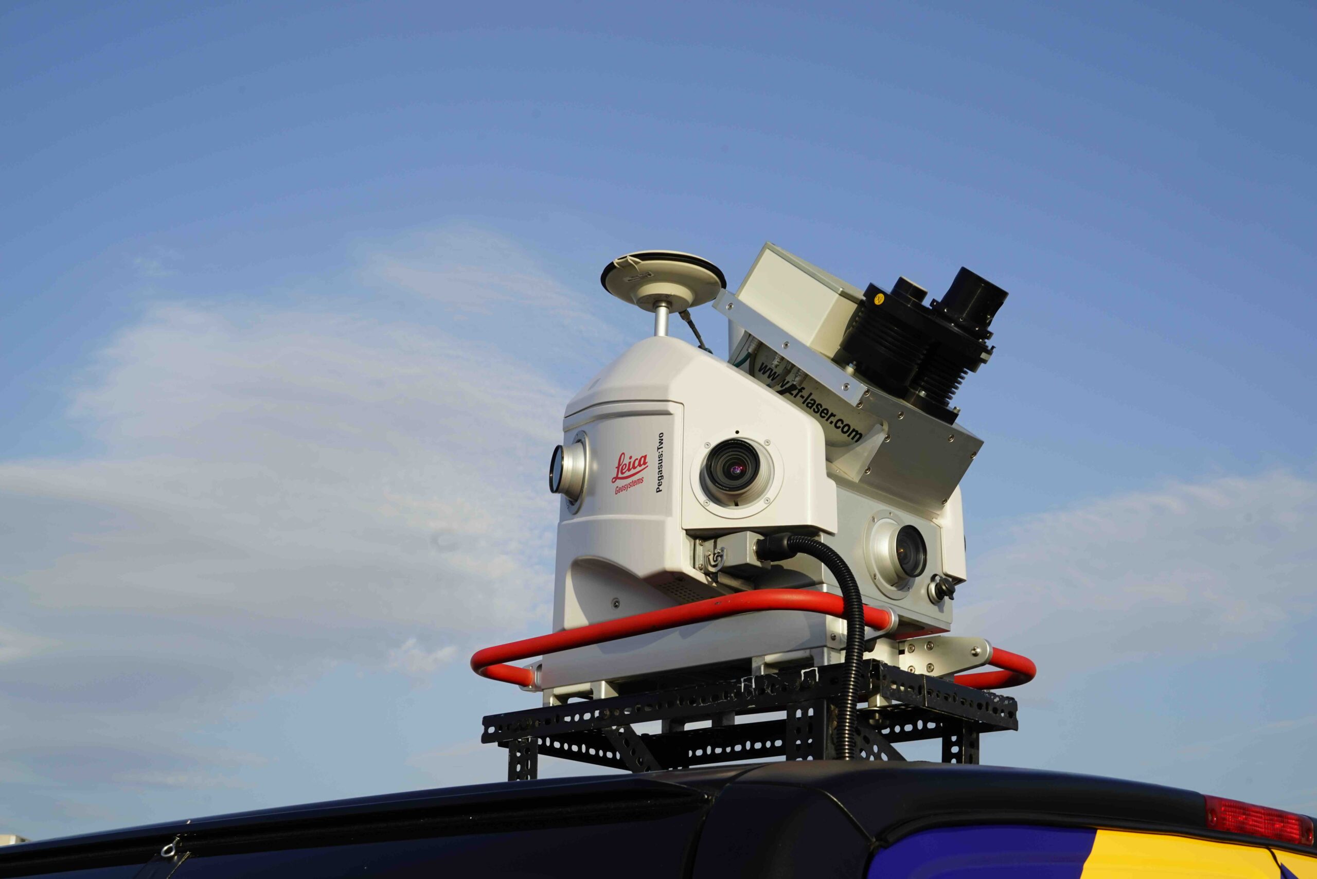
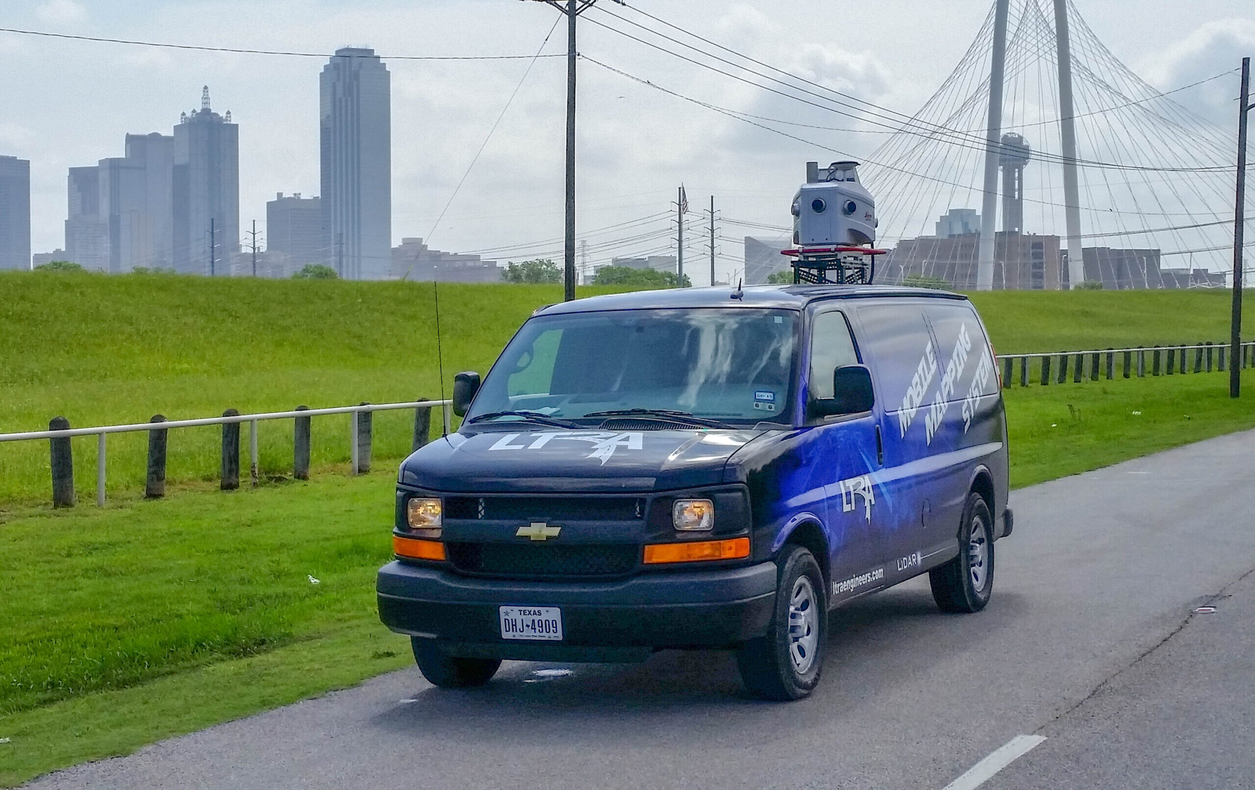
LTRA uses advanced mobile LiDAR technology to deliver fast, accurate data collection for transportation corridors. Our Leica Pegasus Two system captures millions of survey points per second, even at night, without requiring lane closures. It offers a safe and efficient solution for mapping complex roadway environments.
Leverage cutting-edge mobile mapping technology to capture high-resolution geospatial data for infrastructure planning and development.
High-accuracy LiDAR scanning
GIS data collection
3D mapping for urban planning
Asset inventory and analysis
How We
Can Help
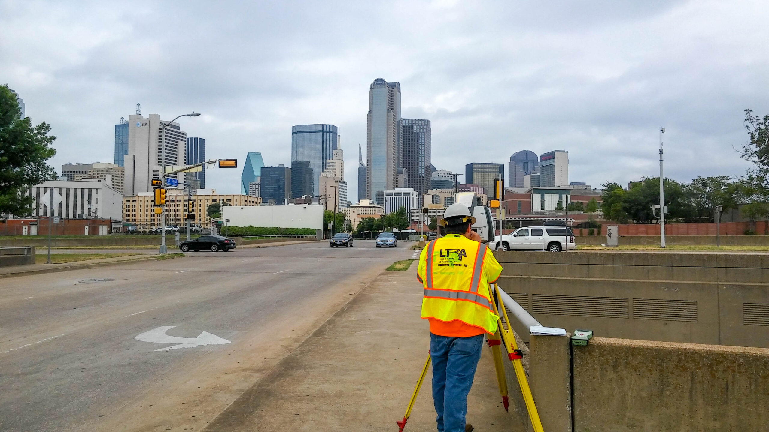
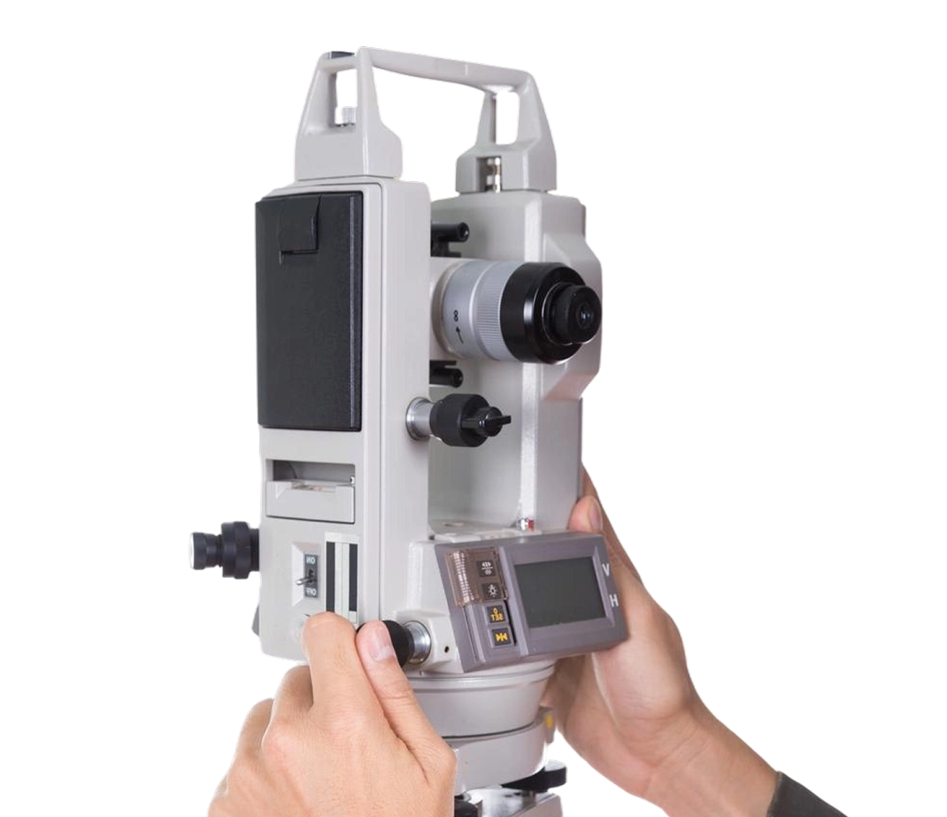
LTRA equips its survey teams with advanced tools including robotic total stations, LiDAR scanners, and GPS network solutions like RTK/VRS. Our teams use both Mobile and Terrestrial LiDAR Scanning Units and process the collected data using advanced software tailored to project requirements.
We specialize in fast, efficient, and high-quality surveying for projects of all sizes and levels of complexity.
Get in Touch
We’re glad you stopped by, please drop us a line and introduce yourself. We enjoy collaborating with new people and discovering opportunities.
Locations
LTRA San Antonio
LTRA Survey / Sue Office