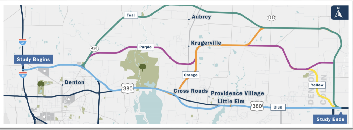
We deliver precise, reliable land surveying data to support transportation projects and guide informed decision-making. From boundary determination to accurate mapping and site analysis, our survey work is foundational to successful planning, design, and development.
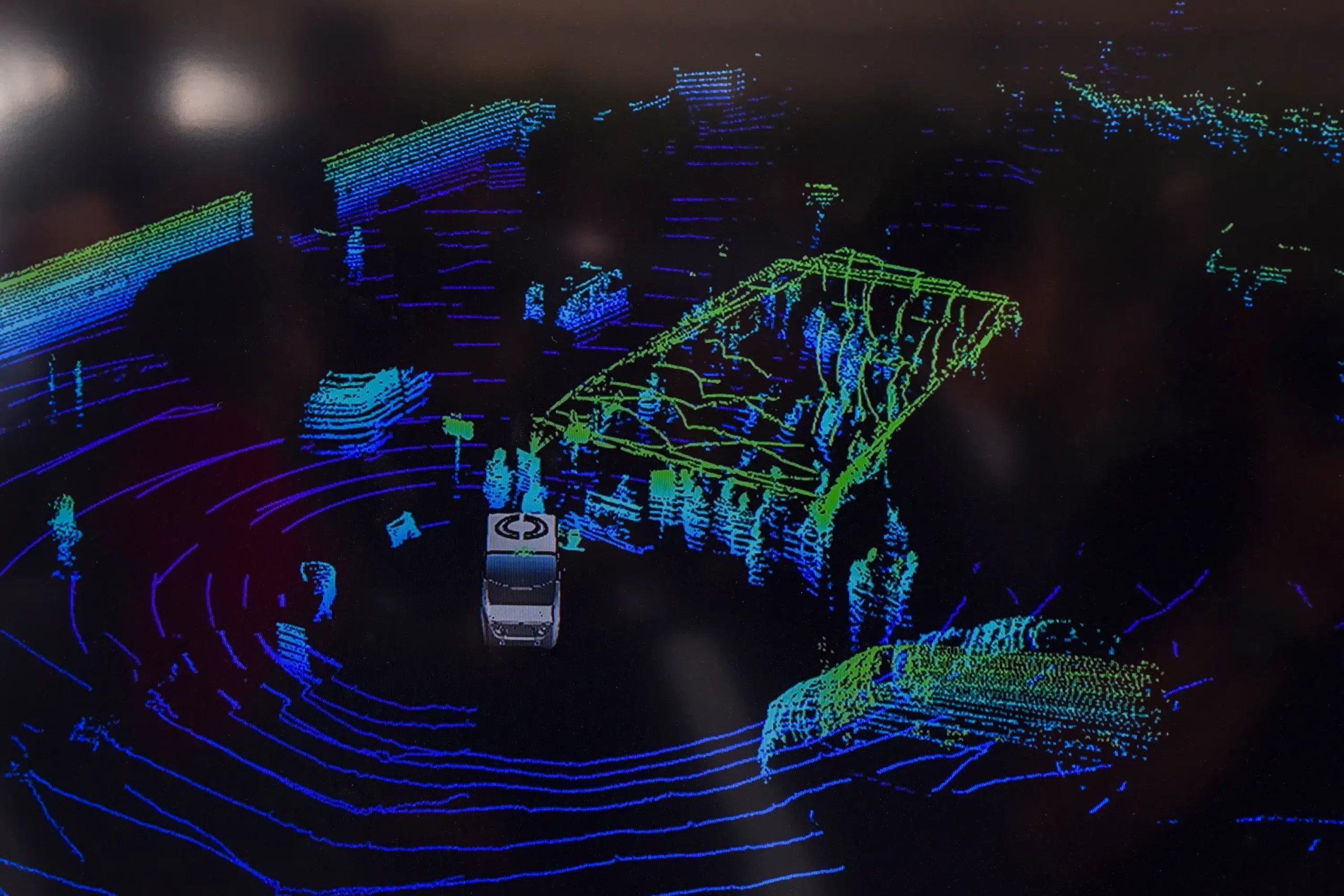
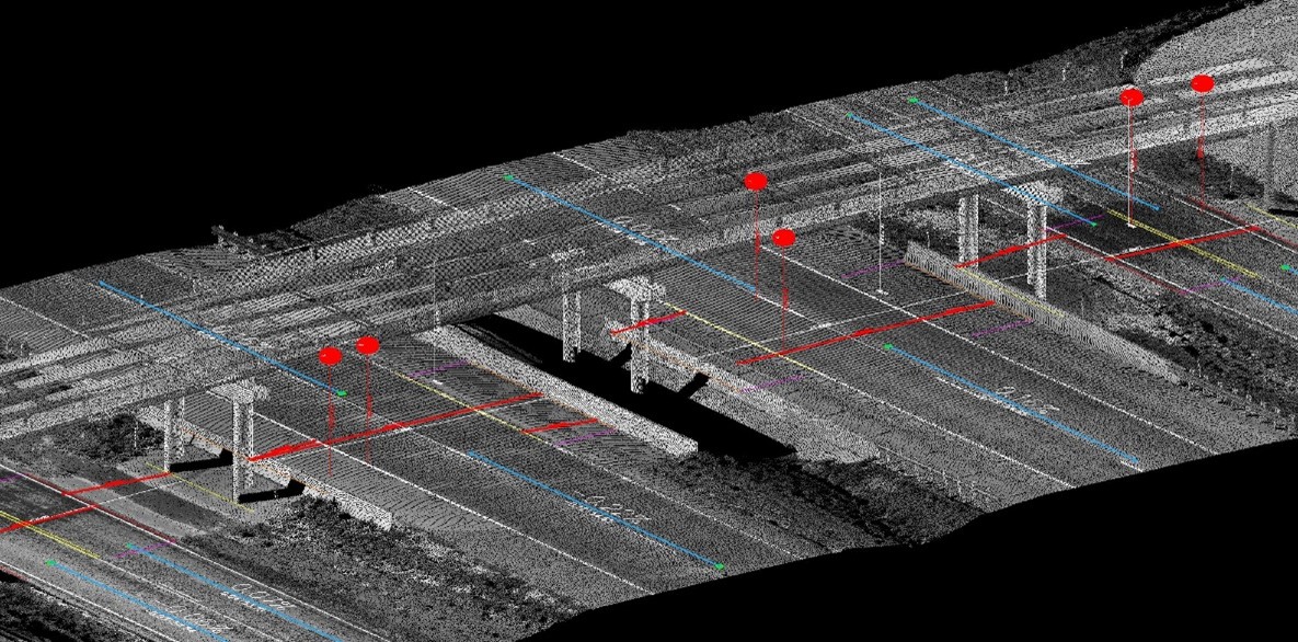
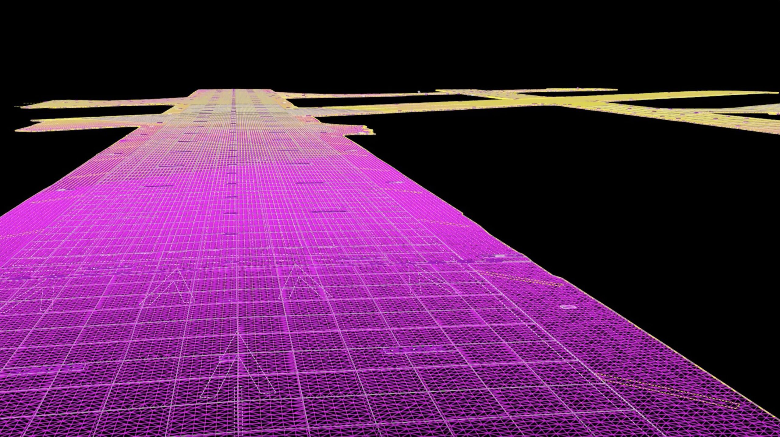
LTRA utilizes advanced terrestrial laser scanning systems from Leica, including the P40, RTC360, BLK360, and MS50. These scanners capture highly accurate point clouds and detailed 3D models quickly and efficiently, even in complex or constrained environments.
Our team processes this data using the Leica Cyclone Suite and extracts it into TopoDOT, ideal for modeling multi-surface sites, plant environments, or areas difficult to access using traditional methods. These dense datasets provide valuable insights for engineers and designers across a variety of transportation applications.
P40
RTC360
BLK360
MS50
How We
Can Help
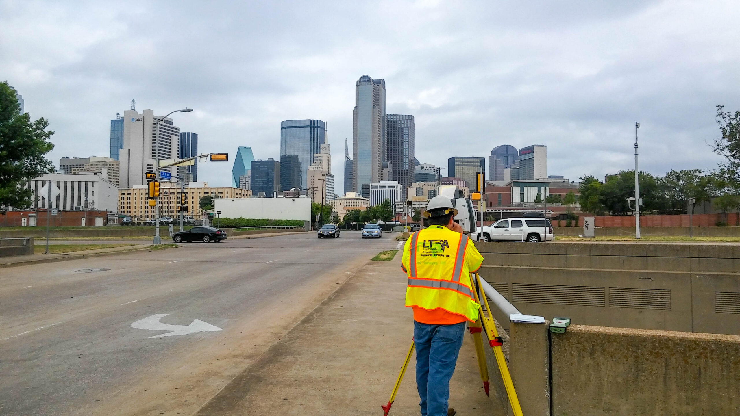
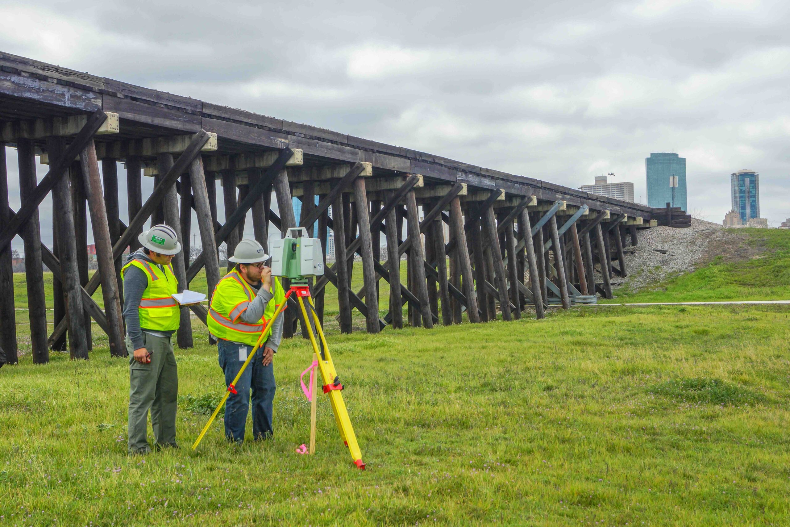
LTRA’s survey department includes Registered Professional Land Surveyors and experienced field technicians with a track record of successfully delivering a wide range of transportation-related survey projects.
Our crews use total stations with electronic data collection to capture precise horizontal and vertical field data. That data is transferred digitally and securely from the field to our internal systems using cloud-based tools, ensuring fast and accurate results.
Get in Touch
We’re glad you stopped by, please drop us a line and introduce yourself. We enjoy collaborating with new people and discovering opportunities.
Locations
LTRA San Antonio
LTRA Survey / Sue Office